Tracking Multiple Targets with 3D TDOA

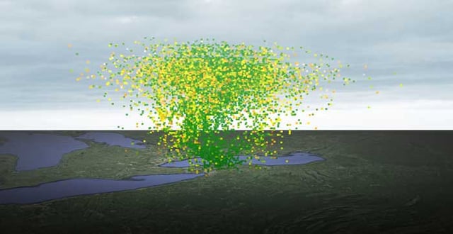
In a recent blog post, we described how 3D TDOA could be used to detect spoofed ADS-B signals from aircraft. And it’s fair to say that the area around an airport is a heavily congested area, with large numbers of planes constantly coming and going. If you’ve got some familiarity with TDOA, though, there might have been something nagging at the back of your mind: doesn’t the ITU say that TDOA is “not well suited to concurrent geolocation of many emitters”? And isn’t this a clear example of multiple simultaneous geolocation? So what’s going on?
Why is Multiple Simultaneous Geolocation Difficult?
To begin to answer this question, we need to look at why exactly concurrent geolocation might be a problem for TDOA. TDOA works by recording all received RF at each receiver, and then comparing between receivers to see when the received spectrum at one receiver most closely matches the spectrum at another. Recording the entire spectrum of a receiver generates a huge amount of data that must then be sent to a central processing hub, so first of all, a powerful data link is required. This hub must then compare the received spectra, which requires a massive amount of processing power to identify even one signal arriving at different receivers. The amount of processing power that would be required to identify multiple different samples simultaneously will, in many circumstances, be prohibitive.
Want to find out more about how TDOA works? Download our white paper here.
Detectors – A Shortcut for Signals
There is, though, another way to approach this problem, which relies on having smart receivers acting as a distributed computing network, and knowing some details of the signal that we are looking for (as in the ADS-B spoofing case). This means that instead of recording the whole RF spectrum and sending it for processing, we can perform pre-processing on the Nodes themselves. The Nodes search through the received RF data using detectors, looking for signals with the particular characteristics that we are interested in. These signals can then be isolated, and this significantly reduced amount of spectral data can be sent to the central hub for comparison of the time of receipt. By drastically reducing the amount of processing required, it is possible to vastly increase the number of simultaneous TDOA calculations that can be performed, allowing for exactly the kind of complex situation monitoring described in the ADS-B blog.
Want to Know More?
Get in touch with us here at CRFS, and one of our team will be happy to help.

White papers & reports
Passive geolocation with 3D TDOA
This white paper addresses the basic operating principles of 3D TDoA; Practical limitations on its accuracy; Applications of the technique.
