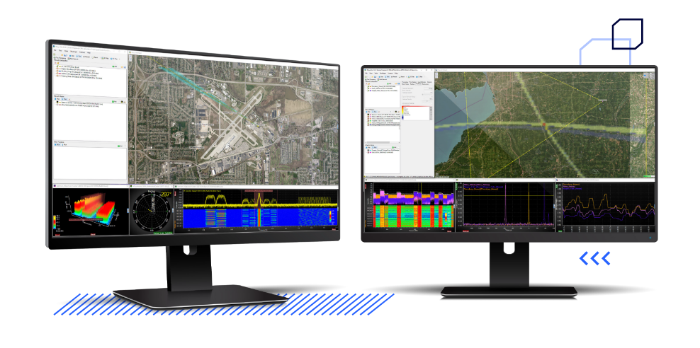
For nearly 20 years, spectrum managers, SIGINT officers and regulators have relied on RFeye Site. It provides all the essential functionality needed for full spectrum operations, turning spectrum data into RF intelligence. In real-time, users can carry out RF spectrum sweeps, I/Q capture, measurements of power, occupancy, bandwidth and frequency deviation; and visualization via interactive charts, maps and graphs.
This spectrum monitoring software and geolocation toolkit is packed with advanced functionalities ideal for RF experts. Multi-mission capability enables multiple spectrum monitoring and geolocation tasks to be run simultaneously. The software can also be customised to your application requirements and includes optional plugins.
All-in-one spectrum monitoring
ITU compliant measurements & evaluation
Comprehensive analysis & informative reports
Advanced geolocation (inc 3D TDoA)
Sophisticated simulation tool
Multi-mission, multi-domain and multi-user
Spectrum monitoring & measurements
Fast, accurate geolocation
Manually or automatically detect signals of interest and geolocate the source by using multiple geolocation techniques. Time Difference Of Arrival (TDoA), Power On Arrival (PoA), Angle Of Arrival (AoA) techniques are all supported as well as hybrid geolocation which combines all of them, displayed within the interactive map.
Geolocate multiple targets over wide areas in real-time with extremely fast update rates ensuring accurate geolocation of emissions even from fast-moving targets. Hybrid geolocation draws on powerful algorithms, fast and accurate synchronised techniques (AoA, TDoA and PoA) for advanced localization and geolocation.
The post-processing TDoA feature allows geolocation of recorded signals allowing, for example, post-event diagnosis of interference incidents. Geolocation scenarios can be conducted with the simulation tool enabling users to practice and fine-tune their geolocation and interference-hunting skills.
Instantly visualize spectrum
Fast and intuitive visualization of spectrum and signals of interest. This can be further enhanced by adding waterfall and I/Q data time charts.
Indoor geolocation
Detector-based 3D TDoA
Brochure
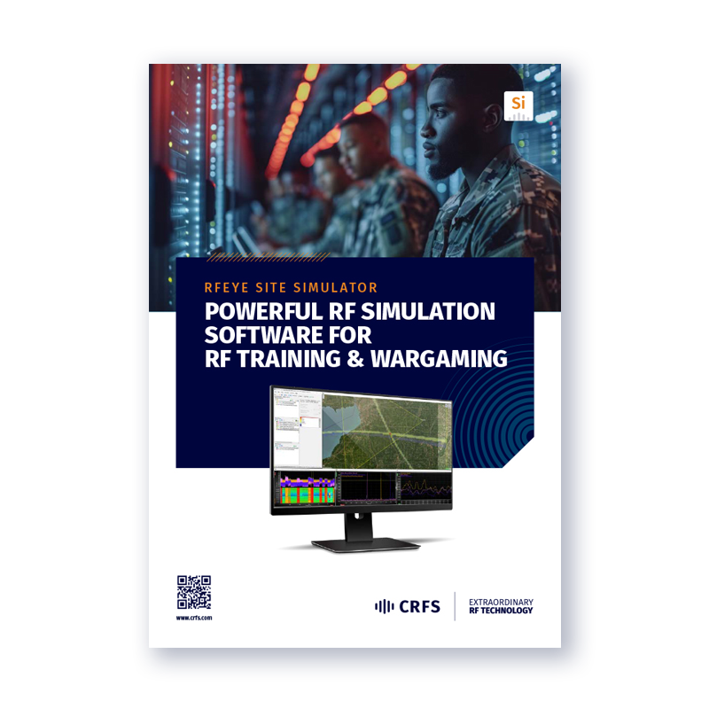
RF simulation software for RF training & wargaming
RFeye Site Simulator provides EW operators with simulated RF sensors. This powerful tool can be used for teaching spectrum operations and conducting wargames, allowing EMSO professionals to simulate scenarios and resolve tactical problems.
Spectrum & data overlays
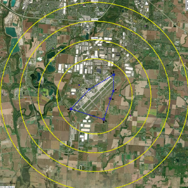
Import existing license datasets and overlay them with national spectrum allocations or specific datasets (such as CSV, PUB7, or Spectrum XXI). Augment known spectrum values with live spectrum data, start / stop frequencies, and locations of known transmitters to verify what should be transmitting, and in what locations.
Simulation tool
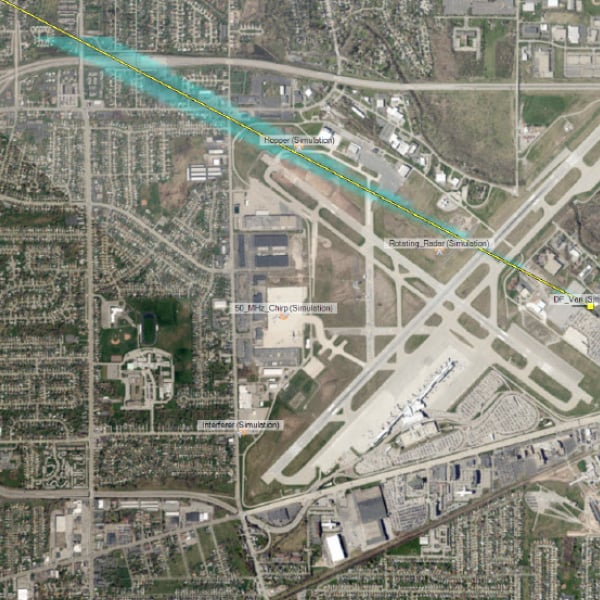
Simulate RF sensors and emitters using fully customizable maps, terrain, and geography views to determine the optimum position of sensors, projected performance, and potential blind spots.
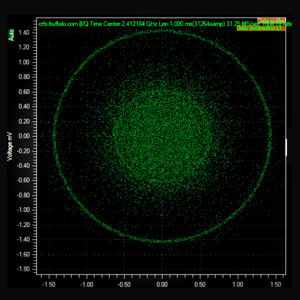
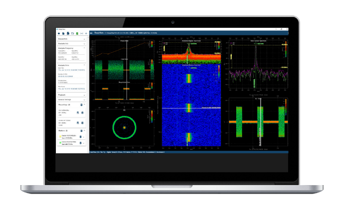
Capture, stream & visualize I/Q data
Capture snippets of high-fidelity I/Q data and stream in VITA-49 to third party applications for demodulation and decoding to support SIGINT applications.
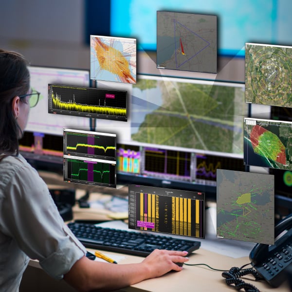
Export data
Export and share I/Q data in industry standard formats. Stream TDoA geolocations in ASTERIX and pbd (Google protobuffer) formats. Export and display a multi-sensor (real and improvised) operating picture through RESTful APIs and JSON.
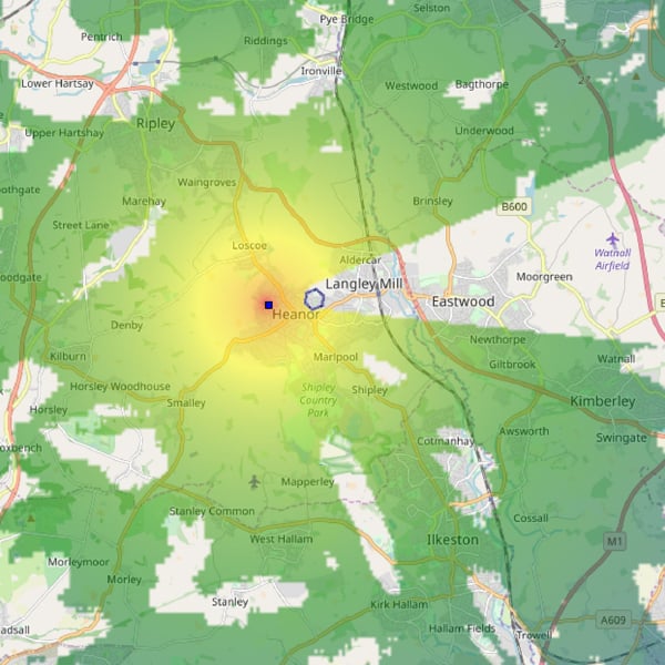
Propagation analysis tool
This modelling tool allows users to simulate signal propagation, considering the curvature of the earth, terrain obstacles, and custom user-created obstacles. The terrain analysis tool enables users to design and optimize RF sensor locations for efficient monitoring and geolocation and simulate real-world scenarios to support mission planning before investing. Users can also determine ‘blue force’ signatures for EMCON.
Training tool
Powerful user interface
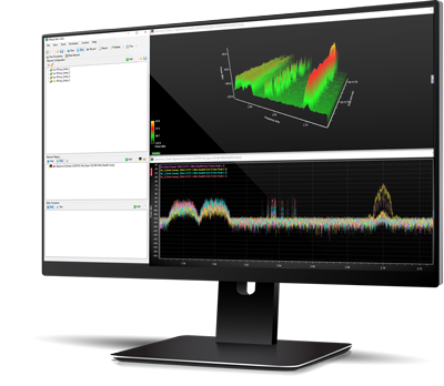
For the best performance we recommend these specifications:
- CPU: Intel Core i9 or better
- Memory: 32 GB RAM or better
- Data storage: 1TB M.2 SSD or larger depending on I/Q data needs
- GPU: DirectX 11.0 compatible GPU with Shader Model 5 support and 256 MB VRAM
- Sound card: DirectX 9.0c compatible sound card
- Network: 1GB full duplex connection
- Screen resolution: 1920 x 1080 (CRFS recommends a minimum of two 32” displays)
- Thunderbolt interface for use with CRFS RFeye DeepView software system (optional)
RFeye support
Technical support
The customer support team can remotely assist with any issue, wherever you are located. Get practical help, receive answers to technical queries, access software workarounds, add more users, and enhance your software bundle by adding another CRFS software solution to your operation.
Training
CRFS provides on-site, remote, and classroom-style training for every skill level as well as bespoke set-up and training tailored to individual needs. For further information, browse the training modules available through Customer Support.
SSUS subscription
Software support and updates service (SSUS) provides permanent and continual access to CRFS support, new software features, and critical updates. Customers benefit from improved hardware and software performance, continued compatibility, and smoother integrations. SSUS information subscription ensures mission resilience.
Talk to a software advisor
Whether you're an existing customer or an integrator wanting to discuss a program, our advisors are on-hand to discuss how our software solutions can be tailored to suit your needs.

